Our Typhoons Could Rain Like Never Before. This UP Scientist Is Finding Out Why.

| Written by Andre DP Encarnacion

Dr. Rafaela Jane Delfino, head of the UP Institute of Environmental Science and Meteorology's Climate and High Impact Weather Laboratory (CHI Lab). Banner by Tricia Mabale UPS-MCO. From a photo by Misael Bacani, UPS-MCO.

Long before she became head of the UP Institute of Environmental Science and Meteorology’s Climate and High Impact Weather Laboratory, Rafaela Jane Delfino was already intimately familiar with tropical cyclones. “Lumaki akong nakakaranas ng mga bagyo,” the Camarines Sur native recalled. “In fact, during my birthdays in October, I experienced having no water or electricity several times.”


Those experiences, combined with an enduring curiosity about weather and climate, eventually led Delfino to climate modeling. During her master’s studies, which she completed in 2013, she trained in modeling seasonal rainfall and climate change adaptation—and became acquainted with a tool that would become one of her research mainstays: the Weather Research and Forecasting, or WRF, model.


WRF is an open-source weather prediction model that creates a numerical representation of the atmosphere over a chosen region, allowing scientists to simulate how weather systems such as tropical cyclones develop and move.


Delfino later put that expertise to work at an NGO, where part of her job involved providing emergency information on tropical cyclones, a practically 24/7 task whenever a storm threatened the country. By the time of her doctoral studies, she had experienced typhoons from several perspectives: as someone who had grown up with them, as a forecaster watching them unfold, and as a climate modeler learning how to reconstruct the conditions that produced them.


Then came the challenge of Yolanda.


Typhoon Haiyan, known locally as Yolanda, was one of the most powerful typhoons ever recorded. When it struck the country in 2013, it affected more than 14 million people, creating havoc that would cost the country more than ₱571 billion in total losses.


While the country reeled from the devastation, the scholar in Delfino saw another type of challenge. Yolanda was a stringent test of how well a numerical model could reproduce a real Philippine typhoon. If scientists could recreate Yolanda on a computer, they could test whether the model could faithfully capture crucial features of a truly extreme storm—from its track and structure to its monstrous intensity.


In a 2022 study, Delfino and her colleagues tested different configurations of WRF, including how model resolution and the representation of atmospheric processes affected its simulation of Yolanda. Higher-resolution configurations could better capture important features of the storm, although even their simulations struggled to reproduce its full observed intensity.


More than an exercise in recreating the past, however, the study established the foundation for the question Delfino ultimately wanted to ask: If their model could credibly reproduce Yolanda as it happened, what might happen if they recreated the same storm under different climate conditions?
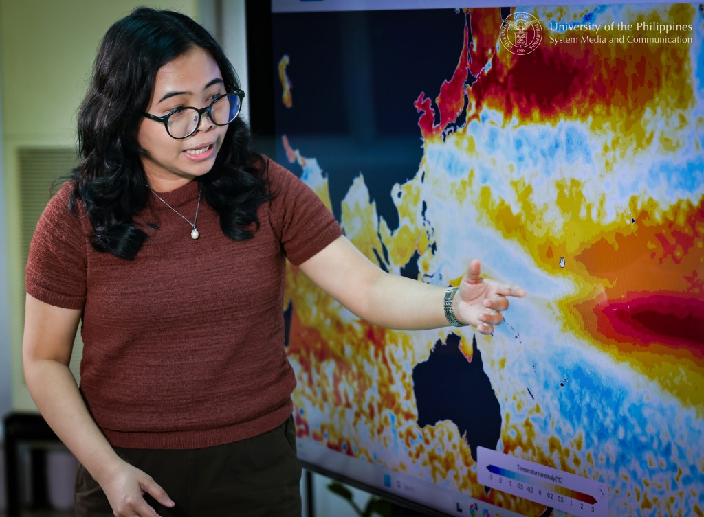
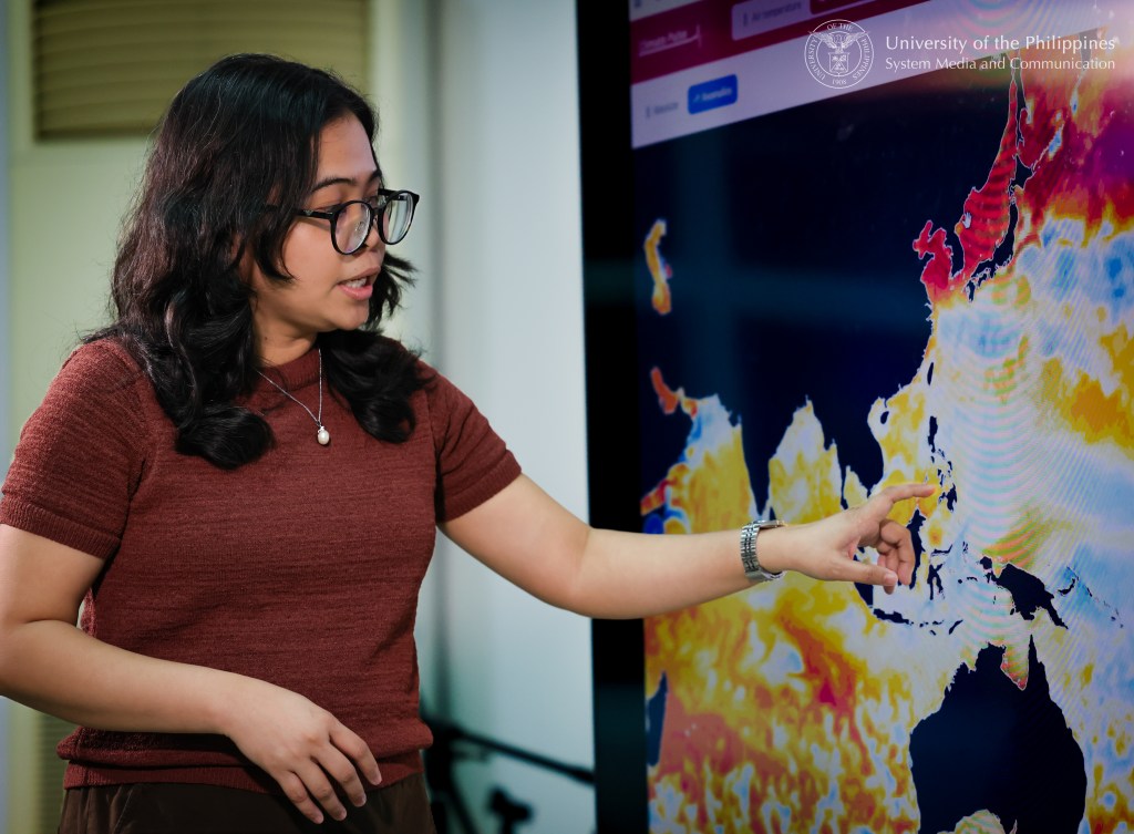
Dr. Rafaela Jane Delfino explains how she models climate change and extreme weather events at the UP Diliman Institute of Environmental Science and Meteorology. Photos by Misael Bacani, UPS-MCO

A signal in the rain

Now confident that their model could reasonably reproduce historical storms, Delfino and her collaborators could begin changing the conditions around them.


In 2023, Delfino, Gerry Bagtasa, Pier Luigi Vidale and Kevin Hodges used a technique called pseudo-global warming, or PGW, to recreate three destructive Philippine tropical cyclones—Haiyan for Visayas, Bopha or Pablo (2012) for Mindanao, and Mangkhut or Ompong (2018) for Luzon—under different climate conditions. Rather than predicting whether the same storms would occur again, PGW allowed the researchers to ask a counterfactual: How might a comparable storm behave if the surrounding climate were colder or warmer? Across the three cases, future-warming simulations generally produced more intense cyclones and greater damage potential.


A subsequent 2024 study complicated the picture. Warming the ocean alone could substantially strengthen the simulated storms, but warming the atmosphere could partly offset that intensification. A typhoon, in other words, responds not simply to hotter water but to changes throughout the ocean-atmosphere system.


By 2025, Delfino and Bagtasa had turned to the more recent super typhoons Goni, or Rolly (2020), and Rai, or Odette (2021), comparing them across the recent past and near future using finer, 3-kilometer convection-permitting simulations. One change stood out: rainfall. Total accumulated rainfall increased by about 26% for both storms.


For Delfino and the team, this was not completely unexpected. Compared with changes in tropical cyclone frequency or even wind intensity, heavier rainfall was emerging as one of the clearest signals of a warming climate.


That fact allowed the team to raise more specialized questions: Where was all that additional water coming from, and would the entire typhoon get wetter equally?

Simulated precipitation rate (mm h−1) at simulated peak intensity for Haiyan on 7 November 2013 12 UTC for the 3kmNoCU runs (upper panel) and the 5kmCU runs (lower panel) under the pre-industrial (left), current (middle), and future climate conditions. Image from Delfino, Bagtasa, Vidale, & Hodges (2026)

All that extra rain

Thus, in their 2026 paper, Delfino, Bagtasa, Vidale and Hodges began with a well-established relationship: As the atmosphere warms, it can hold more water vapor—roughly 7% more for every degree Celsius of warming, according to what scientists call the Clausius-Clapeyron relationship. Typhoons such as Yolanda are highly efficient at drawing on this moisture and converting it into precipitation.


But could the additional moisture alone account for the rainfall increases they were seeing?


For Yolanda, Pablo and Ompong, the researchers separated changes in rainfall into two components. The thermodynamic contribution represents the additional moisture available to a storm in a warmer atmosphere, while the dynamic contribution represents how the storm’s circulation—its convergence and upward motion—transports that moisture and helps turn it into rain.


Across all three storms, additional moisture supplied by warming was the dominant driver, while the contribution of storm dynamics varied from cyclone to cyclone.


But the most striking result emerged when the researchers examined where and how intensely the rain was falling.

Dr. Delfino poses with one of the IESM’s many weather sensors. Photo by Misael Bacani, UPS-MCO.

They separated each cyclone’s inner circulation, containing its eyewall and inner rainbands, from its outer reaches, then examined increasingly extreme rainfall rates at the 90th, 95th and 99th percentiles. The additional rain was not distributed evenly at all.


The strongest increases appeared in the storm’s inner circulation and toward the extreme end of its rainfall distribution—what Delfino ominously called “the ones that we don’t want.” Within the inner circulation, increases could dramatically exceed the roughly 7%-per-degree rate expected from additional atmospheric moisture alone, a phenomenon known as super-Clausius-Clapeyron scaling.


For a scientist, the patterns emerging from the simulations were fascinating. For someone who had spent much of her life experiencing and studying Philippine typhoons, however, the results evoked a darker emotion.


“Exciting, but very, very scary,” Delfino recalled.


Reflecting on the potentially devastating impacts of the simulated increases in extreme rainfall for storms such as Yolanda  under a warmer climate, she admitted: “I want the model to be wrong. Sometimes, I really hope my model is wrong.”

She knows full well, however, how reality can overrule our hopes. The storms in her simulations are not imaginary disasters conjured from nothing but altered versions of typhoons that have already devastated Philippine communities.


The question, then, is what Filipinos can do if the storms of the past bring a whole new level of rain?

Dr. Rafaela Jane Delfino, head of the IESM’s Climate and High Impact Weather Laboratory. Photo by Misael Bacani, UPS-MCO.

Relative control

One consolation afforded by our improved capacity to model tropical cyclones is that we can be better prepared to meet them.


“Especially with the findings of our 2026 paper, it becomes very important to know in advance where a typhoon will pass, where it will make landfall, and where it will go afterward,” Delfino said. “The heaviest rainfall is often found within around 100 to 120 kilometers of the typhoon’s center. Knowing its path will help us identify which communities may experience the greatest impact”


While Filipinos have long viewed destructive typhoons primarily in terms of powerful winds, this emerging reality forces us to give equal importance to rain. That becomes critical when even a relatively weaker typhoon can drop a disproportionate amount of rain over a given area.


But preparing for heavier rainfall also means looking beyond the typhoon itself.


Delfino argues that disasters cannot be understood—and therefore prepared for—as isolated events. A community may already be dealing with enhanced monsoon rains, saturated ground or flooding when a tropical cyclone arrives. One storm may follow another before people and infrastructure have had time to recover. Larger climate patterns such as El Niño can likewise alter the environmental conditions against which these hazards unfold.

Dr. Delfino with members of the Climate and High Impact Weather Laboratory or CHI Lab, the country’s next generation climate modelers and experts. Photo by Misael Bacani, UPS-MCO.

“We need to think differently,” Delfino said, arguing against what she called the country’s often patchy approach to disaster management. Rather than treating each flood, typhoon or climate phenomenon separately, preparedness must consider how hazards, exposure and vulnerability interact—and how one event can leave communities more susceptible to the next.


That also marks the boundary of what Delfino’s simulations can tell us. Her models examine how the hazard itself may change; they do not simulate the people standing in its path, the strength of their homes, the drainage systems carrying away the rain or the institutions responsible for preparing for disaster.


A stronger hazard does not automatically determine the scale of the disaster that follows. Exposure, vulnerability and governance remain part of the equation—and, unlike the physical response of atmospheric moisture to warming, they are factors over which people have some control.


For Delfino, that makes the Philippines something of a “living laboratory”: a country where tropical cyclones, monsoons, El Niño and other forms of natural climate variability increasingly interact with the effects of human-caused climate change.


Understanding that new reality will require more than climate modelers. Delfino calls for meteorologists and other physical scientists, but also engineers, social scientists and even artists who can document how communities experience disasters and communicate what they have learned.


Delfino has come a long way from being the child whose birthdays were spoiled by typhoons in Camarines Sur. Now, she reconstructs them kilometer by kilometer inside a computer, trying to understand what they might become. Moreover, her studies make her acutely aware that we cannot choose the storms a warmer world will send our way. But understanding them better may help determine what happens when they arrive.